Dynamic Map Platform North America provides ground truth intelligence for use in automotive advanced driver assistance technologies and for infrastructure maintenance projects.
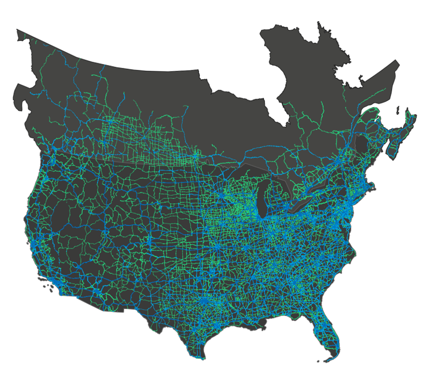
DMP interactive map showing current and planned mapped roads.

DMP North America is a geospatial measurement and software company that creates high-definition maps and software supporting advanced driver assistance, semi-autonomous and autonomous driving applications globally. We also provide highly accurate road data for use in government and transportation-related projects, providing a common infrastructure of high-precision location information.
DMP North America’s brand Ushr provides high-definition map data used in critically acclaimed hands-free driving technology present on the roads today. The company leverages over 20 years of geospatial data experience to provide drivers with a sense of security and confidence with this emerging technology.


Miles of road mapped in North America, plus more coming globally
Road features identified in our maps, including road types, paint lines, road furniture, traffic control devices, as well as virtual features such as lane centerlines, trajectories, and virtual lane edges.
U.S., Canada, and Japan available now. Data for 23 more countries is on the way.

We have been in production since 2017, and our geospatially precise data enables us to extract hundreds of road features for automotive and smart city management.
We’re Hiring! At DMP North America, we aim to build high-precision maps as a foundation for safe self-driving technologies.
